
UFLYUAS collects drone imagery of power line infrastructure in New York, New Jersey and Delaware to support utility inspection reviews and maintenance planning. Aerial viewpoints can document poles, towers and visible hardware that are difficult to review from the ground.
This service is for utility teams, asset owners and their appointed contractors who need visual documentation of specific assets or corridor sections. Share your inspection brief so we can discuss the coverage, site access and intended use of the imagery. The utility’s qualified personnel remain responsible for interpreting asset condition and deciding what work is required.
Planning a project in Middletown or Townsend? Explore our Delaware drone services and email [email protected] with your location and project brief.

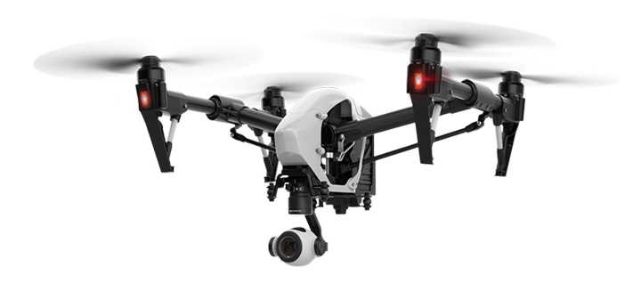

Start with an asset list or a clearly identified corridor section. Explain which components, viewing angles and areas of concern your reviewer needs. Depending on visibility and the agreed flight plan, imagery can support reviews of visible corrosion, wear, damaged components or nearby vegetation.
A flight does not establish electrical safety or confirm the internal condition of a component. We do not promise a shutdown-free inspection or access to every asset.
For a quote, send the asset locations, approximate number of structures or corridor length, inspection objective, site contact, deadline and required imagery. Safe operations, weather, airspace and permissions determine whether and when the requested coverage is possible.
No. Images support a review by qualified utility personnel; they do not replace electrical testing, engineering judgement or required maintenance procedures.
Ask about repeat coverage when requesting a quote. Provide earlier imagery and the views you need so we can discuss a consistent documentation plan.
Request a power line inspection imagery quote. Related services include cell tower drone inspections and aerial mapping data collection.
