UFLYUAS began in 2017 with a passion for drone technology and a clear purpose: to help people see their projects from a more useful perspective. What started with DJI drones has grown into aerial photography, inspection imagery, construction documentation and 3D visualization for clients across New York, New Jersey and Delaware.
Our approach starts on the ground—with an understanding of your site, your goals and how you plan to use the results. From capturing the character of a property to documenting a changing construction site or creating an interactive 3D scene, we plan each project around the views and deliverables that matter to you.
As technology evolves, our focus remains the same: thoughtful preparation, clear communication and imagery that helps you document, present and understand your project.
Happy Clients
0K+
Aerial Inspections
0K+
Aerial Photography
0K+
Years Experience
0+
Our value
Quality, Ingenuity, Reliability
Our commitment to quality, ingenuity, and reliability ensures exceptional results for every project.
Vision
Our vision is to revolutionize aerial solutions through cutting-edge technology and unwavering dedication to client success.
Mission
Our mission is to provide innovative aerial services tailored to exceed client expectations while prioritizing safety, efficiency, and excellence in every operation.
WHAT YOU RECEIVE
Aerial Deliverables Built Around Your Project
UFLYUAS helps property owners, contractors and project teams in New York, New Jersey and Delaware turn an aerial view into useful project documentation.
Roof & Asset Inspection Imagery
High-resolution photos and video of roofs, solar installations, cell towers and utility assets. Give your contractor or technical reviewer clear views of the areas that matter.
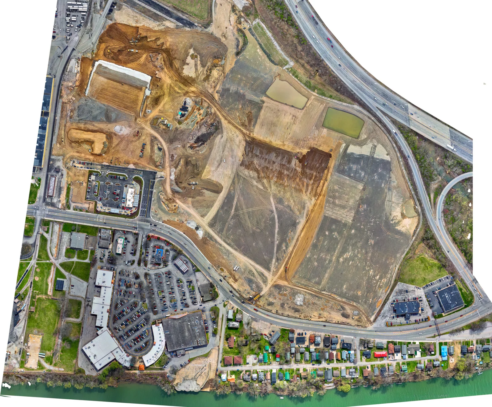
Dated photo sets, progress videos and repeat viewpoints for owners, contractors and project stakeholders. Plan weekly, biweekly or milestone visits around your project.
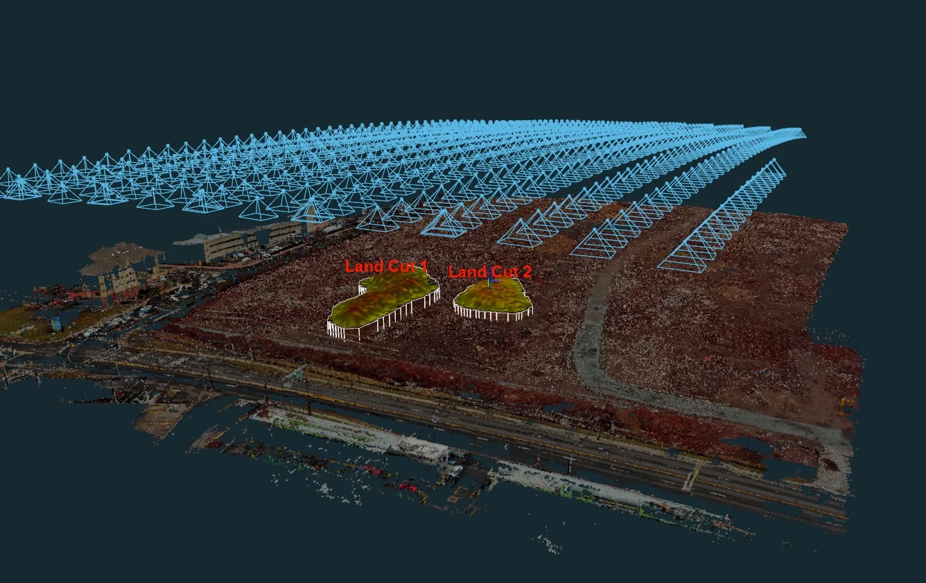
Discuss orthomosaic maps, 3D models, DSM/DTM outputs and stockpile volume reports. We define capture coverage, file formats and validation needs around your intended use.
Showcase properties, venues and projects with aerial photographs and edited footage. Agree a shot list and delivery requirements for your listing, presentation or campaign.
Start with your location, project goal and deadline. We will discuss the coverage, deliverables and flight requirements before quoting. Mapping outputs are not survey-grade; legal boundaries and certified survey work require a licensed surveyor.
Embark on your incredible aerial journey with us, leveraging the unparalleled expertise and innovative solutions offered by UFLYUAS to elevate your project to new heights of success.