Aerial Drone Photography
- Home
- Aerial Photography
Drone Real State Photography
Showcase properties from unique and captivating angles.
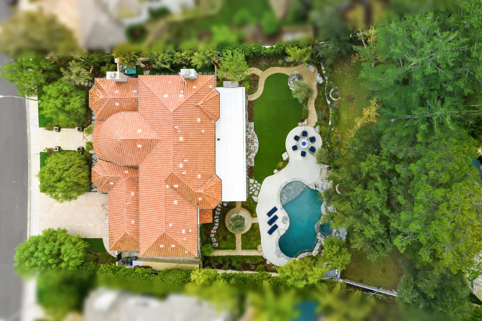
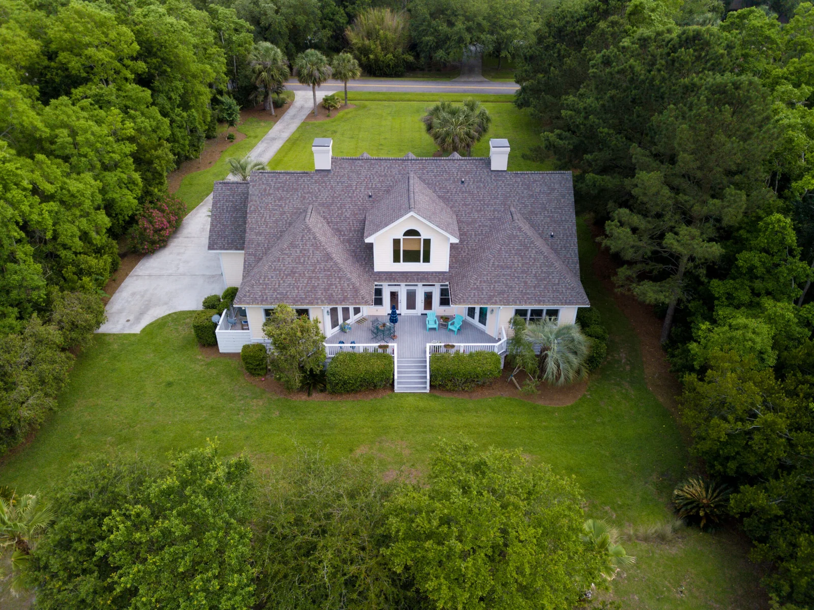
Drone aerial photography has revolutionized the real estate industry by providing stunning, high-resolution images and videos that showcase properties from unique, captivating angles. This technology allows for comprehensive overviews of properties, highlighting their features, surroundings, and overall appeal in a way traditional photography cannot match. Drones offer cost-effective, efficient, and safer alternatives for capturing expansive estates, difficult-to-reach areas, and large developments. By enhancing marketing materials and providing potential buyers with immersive, detailed views, drone photography has significantly boosted property visibility, engagement, and sales.


Transforming Real Estate with Drone Aerial Photography
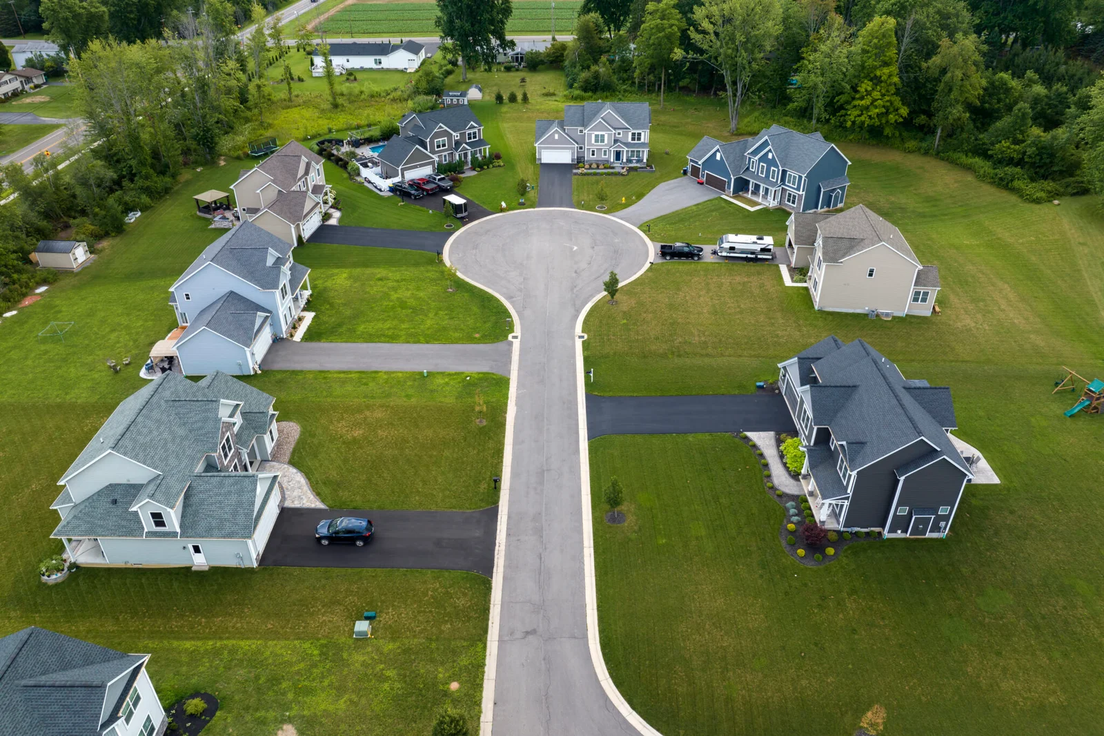
Aerial photography has transformed the real estate industry by providing unparalleled access to property visuals. It allows real estate agents to create dynamic, engaging listings that include bird’s-eye views, which can illustrate the scale and context of a property within its neighborhood. This technology also speeds up the marketing process, as drones can quickly capture images and videos that previously required more time-consuming and expensive methods. Additionally, drones enhance transparency for buyers, offering them a clear and detailed understanding of a property’s exterior features and potential, thus fostering more informed decision-making and increasing trust in the transaction process.
The Impact of Drone Photography
Drone photography has reshaped the landscape of the real estate sector by offering unprecedented access to captivating imagery that elevates property presentations. Through stunning aerial perspectives and immersive video content, drones provide potential buyers with a comprehensive understanding of a property’s layout, environment, and overall allure. This innovative technology has not only enhanced the quality of marketing materials but has also revolutionized the selling process, facilitating quicker and more efficient property inspections and viewings. The profound impact of drone photography in real estate is evident in its ability to transform the way properties are showcased, viewed, and ultimately, sold.

