Aerial Drone Mapping
- Home
- Aerial Mapping
Aerial Drone Mapping
Accuracy and Precision
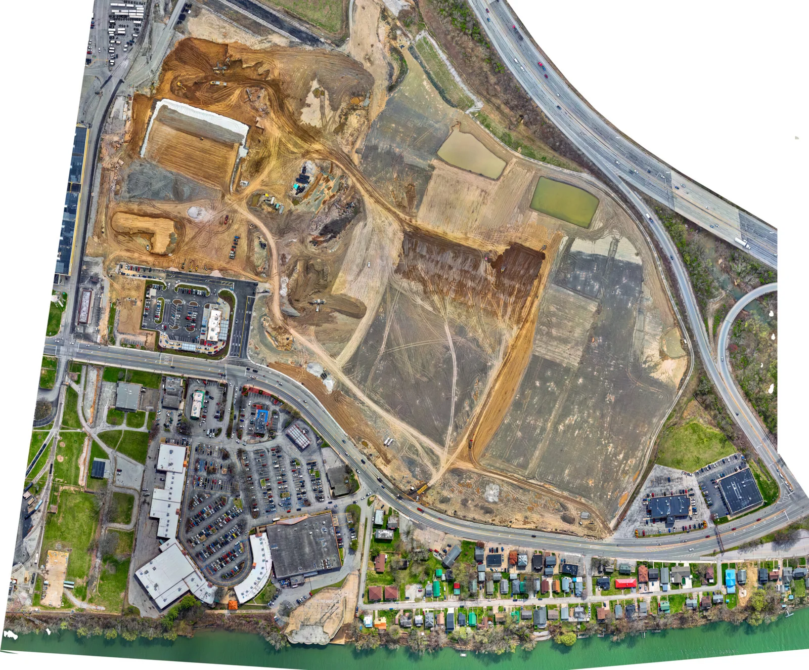
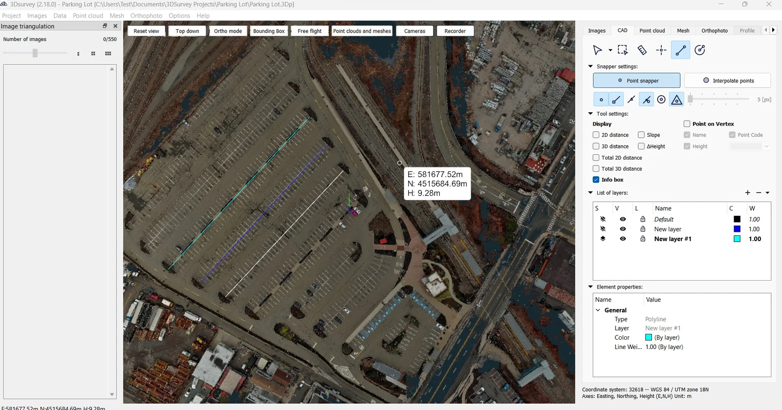
Drones capture high-resolution data that produces highly accurate maps and models, essential for detailed analysis and decision-making. Efficiency: Drone mapping significantly reduces the time required for surveying large areas compared to traditional methods. Drones can cover difficult terrains and large expanses quickly and efficiently.


Construction and Engineering
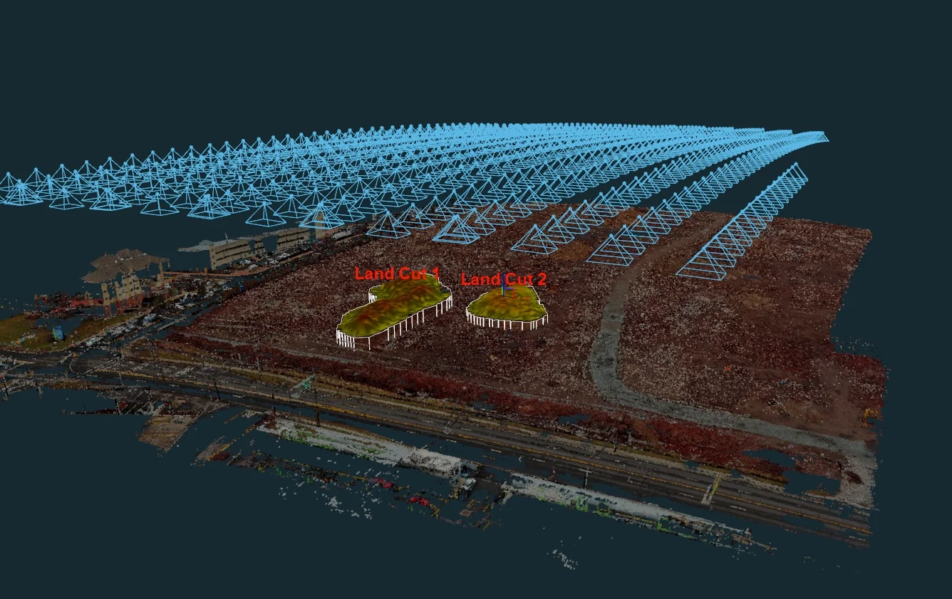
Drones provide precise topographical maps and 3D models, aiding in site planning, monitoring construction progress, and managing large projects more efficiently. Drones can access hazardous or hard-to-reach areas, reducing the risk to human surveyors. This makes them ideal for surveying dangerous or inaccessible locations.
Cost-Effectiveness
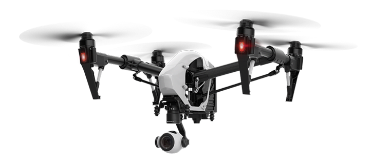
Aerial drone mapping represents a significant advancement in the field of geospatial data collection and analysis. Its applications across various industries demonstrate its versatility and importance in modern technology. By offering accurate, efficient, and safe mapping solutions, drones are transforming how we understand and interact with our environment.

