Construction
- Home
- Construction
Progress Report
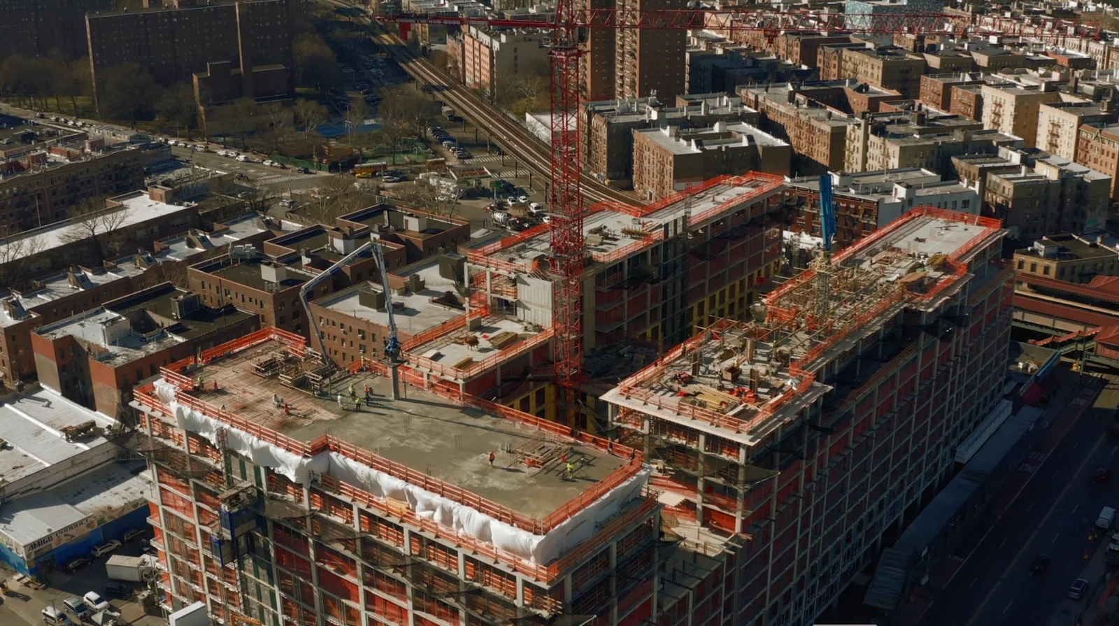
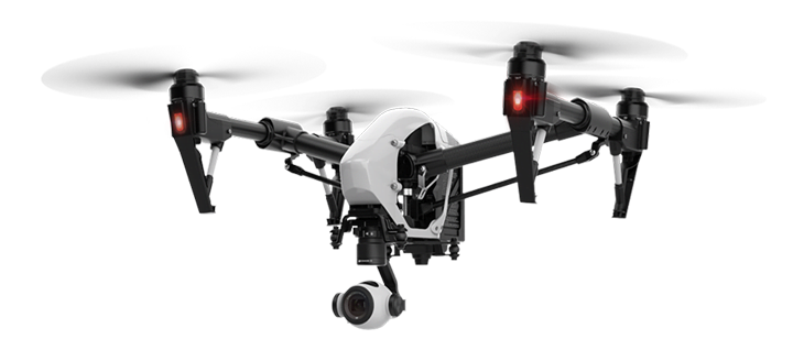
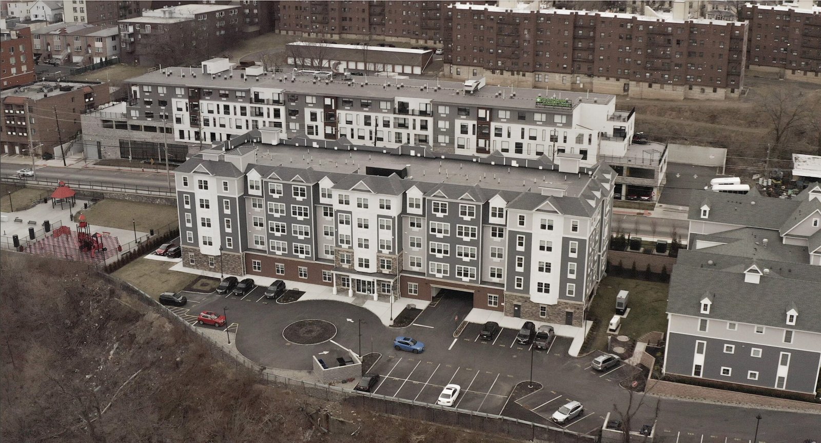
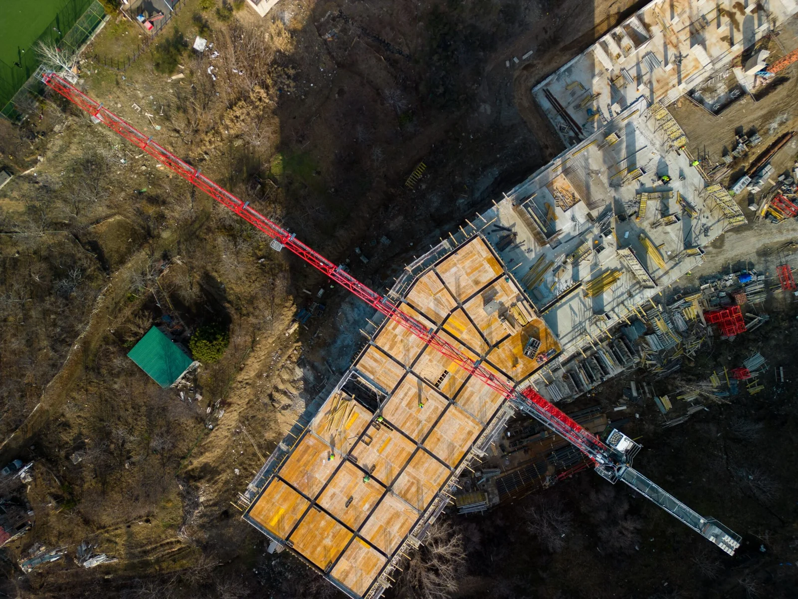
Track construction progress effortlessly with our drone aerial images or videos.
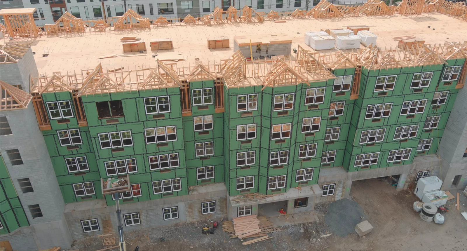
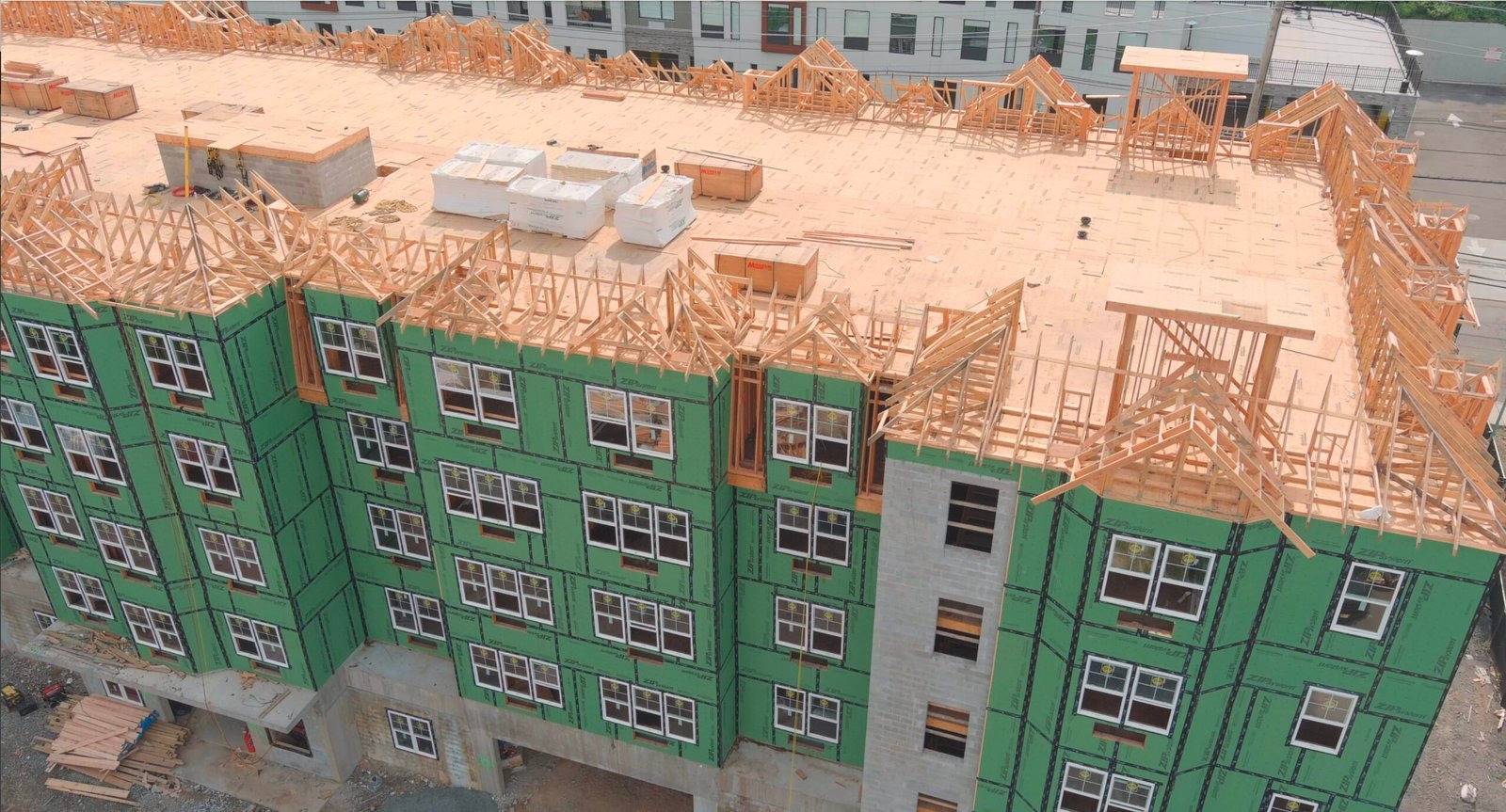
Drones offer unparalleled efficiency in monitoring construction progress, providing real-time aerial views of sites. Their ability to access hard-to-reach areas ensures comprehensive coverage and early detection of issues. By streamlining data collection and analysis, drones empower construction teams to make informed decisions and optimize project timelines.
Help your investors
Drone construction progress reports offer investors invaluable insights into project development, providing visual documentation of milestones and potential challenges. These reports enhance transparency, enabling investors to track progress remotely and make informed decisions regarding funding and project management. By facilitating timely communication and risk assessment, drone reports ultimately instill confidence and mitigate investment uncertainties.
What do we provide?
We offer detailed aerial imagery captured with precision, providing comprehensive visual documentation of the inspected area. Our high-resolution images reveal intricate details, allowing for thorough analysis and inspection of assets, structures, and surroundings. From identifying potential issues like corrosion or wear and tear to monitoring vegetation encroachment or wildlife activity, our imagery provides valuable insights for informed decision-making and proactive maintenance.
