Cell Tower Drone Inspections
- Home
- Cell Tower Inspections
Asset Management
Revolutionize Telecom Maintenance with Precision Drone Inspections
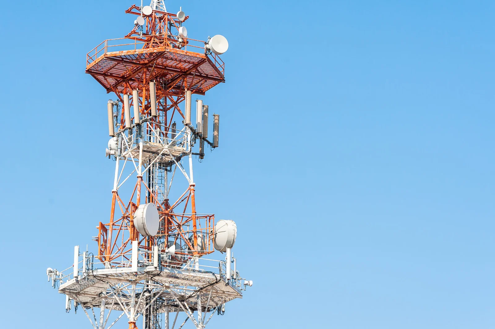
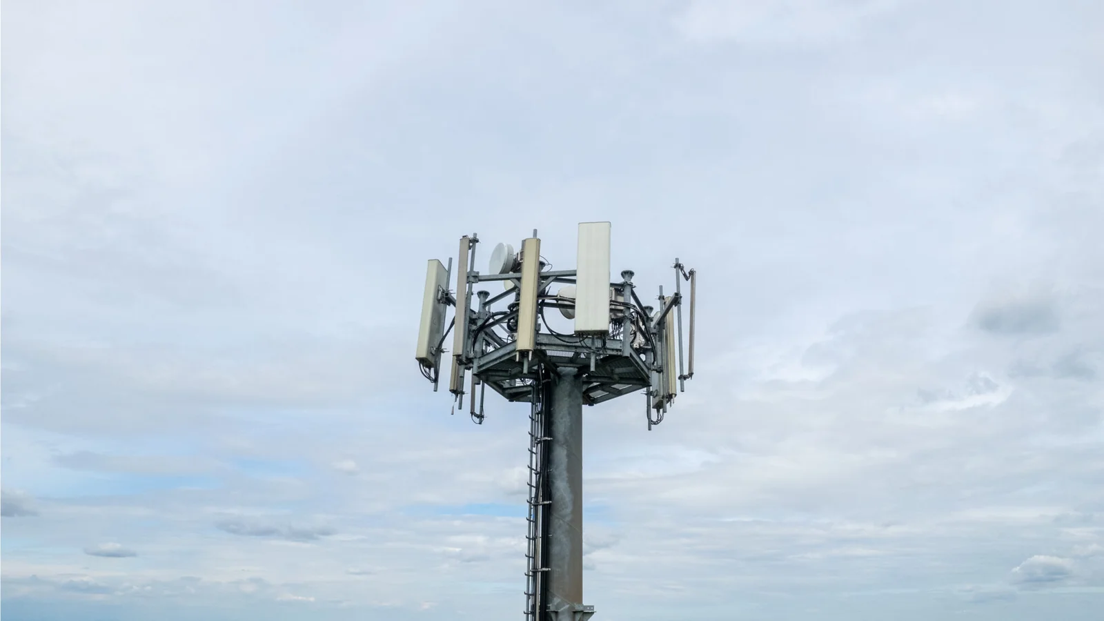
Our Aerial Drone Telecommunication Inspections offer an unparalleled solution for maintaining and optimizing your telecommunication infrastructure. Utilizing state-of-the-art drone technology, we provide high-resolution imagery and real-time data analysis of cell towers, antennas, and other critical equipment. This innovative service ensures thorough and efficient inspections, identifying potential issues before they become costly problems. By minimizing the need for manual climbs and enhancing safety, our drone inspections not only save time and reduce operational risks but also significantly cut maintenance costs. Trust us to keep your communication networks running smoothly and reliably with precision and ease.


Digital Twins
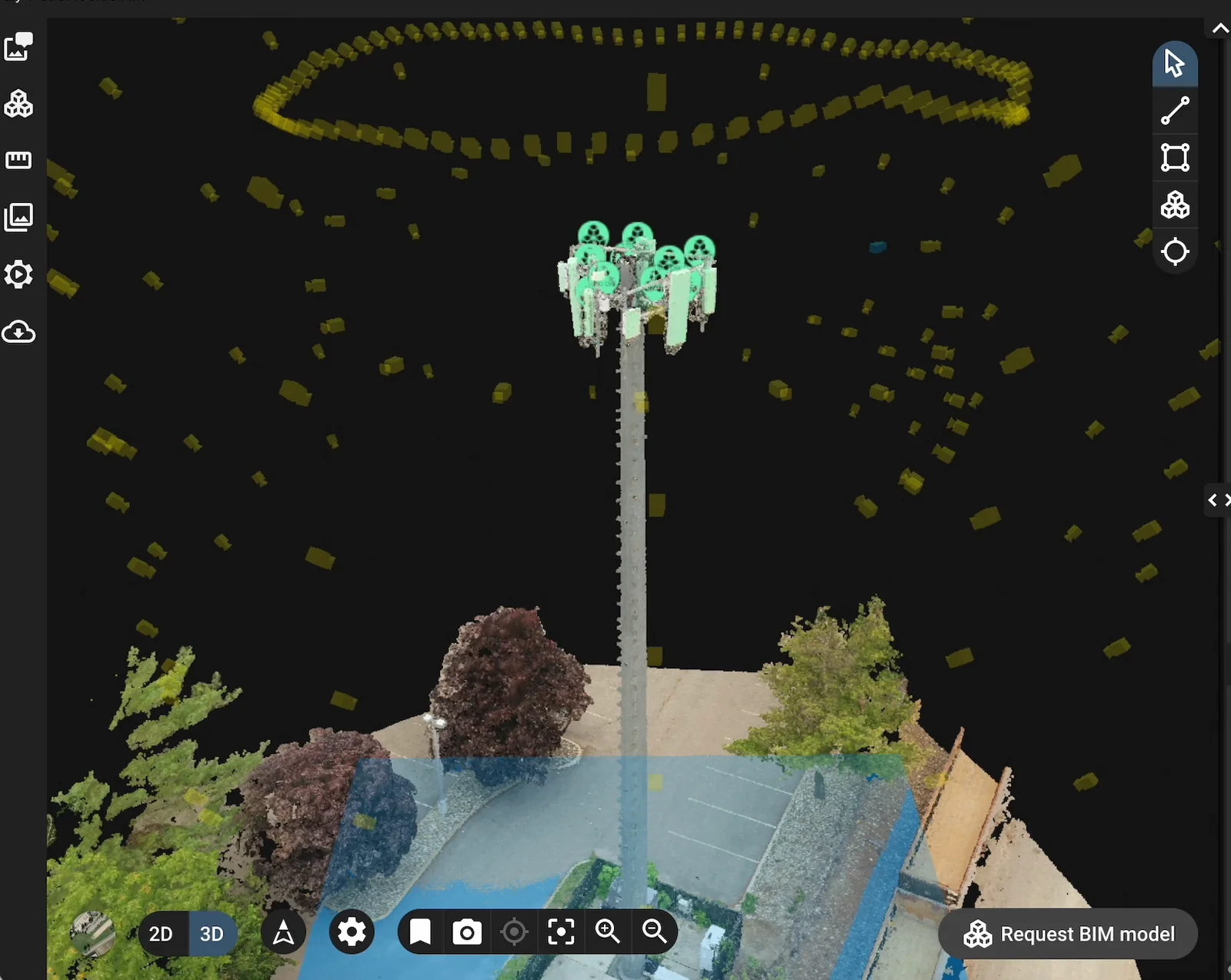
Elevate your asset management with our cutting-edge Digital Twin Services, brought to you by our expert drone company. By harnessing advanced drone technology, we create precise, high-resolution digital replicas of physical assets, including buildings, infrastructure, and industrial sites. These detailed digital twins enable you to monitor, analyze, and manage your assets remotely with unprecedented accuracy. Our service not only enhances predictive maintenance and operational efficiency but also supports strategic planning and decision-making. Experience the future of asset management today with our innovative and comprehensive Digital Twin Services.
Transform Inspections with Advanced Drone Technology
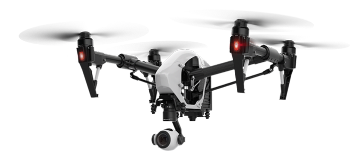
Inspecting with a drone is crucial for enhancing safety, efficiency, and cost-effectiveness. Drones reduce the need for human workers to perform dangerous tasks, covering large and hard-to-reach areas quickly and at a lower cost by eliminating expensive equipment. They capture high-resolution images and real-time data, enabling precise, immediate assessments and early issue detection. Additionally, drones are more environmentally friendly, minimizing disturbances and heavy machinery use. Overall, drone inspections offer a modern solution that improves safety, efficiency, and accuracy while reducing costs and environmental impact.

