
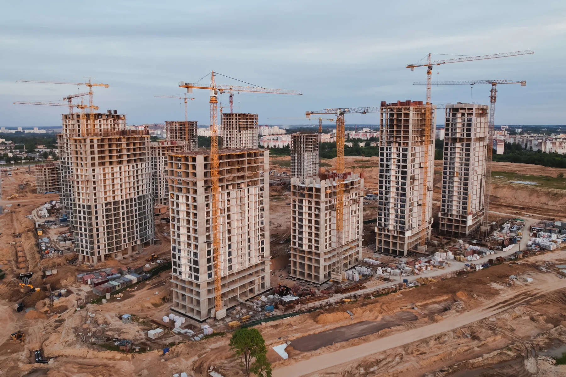
Construction photos are most useful when they answer a project question. Has the site changed since the last visit? Which areas are ready for the next trade? What does an off-site stakeholder need to see? A planned drone capture can give owners and contractors a consistent overview without relying on a collection of unrelated snapshots.
Start with the decision, then choose the views
A developer preparing an investor update may need a wide overview and short edited video. A site manager coordinating access may need overhead images of haul roads, laydown areas and building footprints. A team reviewing earthwork may need mapping data with a clearly agreed processing scope. These are different jobs: define the intended use before booking the flight.
A practical capture plan for each milestone
| Milestone | Useful coverage | Planning question |
|---|---|---|
| Before work begins | Site overview, access points and surrounding context | Which existing conditions need a visual record? |
| Earthwork and foundations | Excavations, staging areas and visible foundation progress | Do you need photographs, mapping data, or both? |
| Structure and framing | Repeat oblique views and building-wide context | Which elevations and work areas should be repeated? |
| Exterior and site works | Roof and facade context, parking, drainage features and landscaping | What needs specialist follow-up rather than a photograph alone? |
| Completion | Final overview and agreed marketing shots | Where will the images be used, and in what format? |
Make repeat visits comparable
Agree on a small set of reference views, asset names and file naming rules. Record the date of each capture. Similar viewpoints and framing make changes easier to follow, although weather, active work and airspace can affect the flight plan. For example, a monthly stakeholder update can use the same overview plus three agreed building views; a major concrete pour may justify a separate visit. That is a planning example, not a fixed schedule for every project.
What should your deliverable include?
- Clearly dated, organized photographs with agreed building or area labels.
- A short edited progress video when it serves the audience.
- A list of the views collected and any coverage limitations.
- Mapping or 3D outputs only where their scope, format and intended use were agreed.
Photographs document visible conditions; they do not certify structural quality, quantities, completion percentages or compliance. If measurements will support payment, design or a survey, involve the appropriate qualified professional and agree on validation requirements.
Before requesting a visit
Send the site address, proposed dates, site contact, access requirements, intended audience and requested outputs. Explain active crane operations, restricted areas and any site induction requirements. The pilot must assess airspace and safe operating conditions; permission from the property owner does not replace aviation requirements. See the FAA commercial drone guidance.
Construction coverage in New York, New Jersey and Delaware
UFLYUAS provides construction drone monitoring and aerial mapping data across these service areas, including Middletown, Townsend and nearby Delaware communities. Availability depends on location, weather, airspace and safe access.
Frequently asked questions
How often should a site be photographed?
Choose the frequency around your reporting needs and major milestones. Weekly, monthly and milestone visits serve different purposes; share your schedule so the capture plan can match it.
Can aerial images replace an engineer’s inspection?
No. Images can support a specialist’s review, but they do not replace required inspections or professional certification.
Planning a construction update? Request a project quote or email [email protected] with the site address and your next milestone.
